The Four Corners …
We’ve found over the years that we’ve become quite adept as geography teachers since Zambia, Zambezi and Zimbabwe do all sound similar, if you’re hearing them for the first time. So we thought it would be fun to explain a little about the “4 corners” in southern Africa. The “4 corners” is a popular term used to refer to the area where the great Zambezi and the Chobe rivers join Zimbabwe, Zambia, Namibia, and Botswana together. This is actually the only place in Africa where 4 countries meet.
We love this area because it is not only a beautiful introduction to Southern Africa, but by virtue of the three airports in close proximity (Livingstone Airport on the Zambian side, Kasane Airport in Botswana and Victoria Falls Airport in Zimbabwe) it functions as a physical gateway to the whole region and allows for fairly seamless travel between major national parks in all four countries.
Let’s Take A Tour …
The Zambezi River first forms the divide between Angola and the Northern border of the Caprivi strip (the thin long “panhandle” of Namibia that reaches out 250 miles east of the country), then rushes over the the Victoria Falls and courses through the spectacular Batoka Gorge about 50 miles east of the “4 corners” and continues to mark the border between Zambia and Zimbabwe, flowing through Lake Kariba, then Mozambique and ultimately out to the Indian Ocean.
Along the southern border of the same Caprivi strip, the Chobe River separates Namibia from Botswana before it’s confluence with the Zambezi. One of Botswana’s best known game parks, the Chobe Game Reserve, teeming with elephant, stretches along it’s the southern bank for roughly 90 miles. (Zoom in and out on the map below to follow us here).
View Larger Map
Chobe is easily accessed from Kasane Airport (the nearest park gate is about 15 minutes away), which is also frequently the point of departure for guests flying on to the famous Moremi Game Reserve, Okavango Delta, Linyanti or Selinda areas. About 15 minutes along a road due east of Kasane, one crosses the border from Botswana to Zimbabwe, to pass through the Matetsi Safari Area, for another 45-minute drive to Victoria Falls Town.
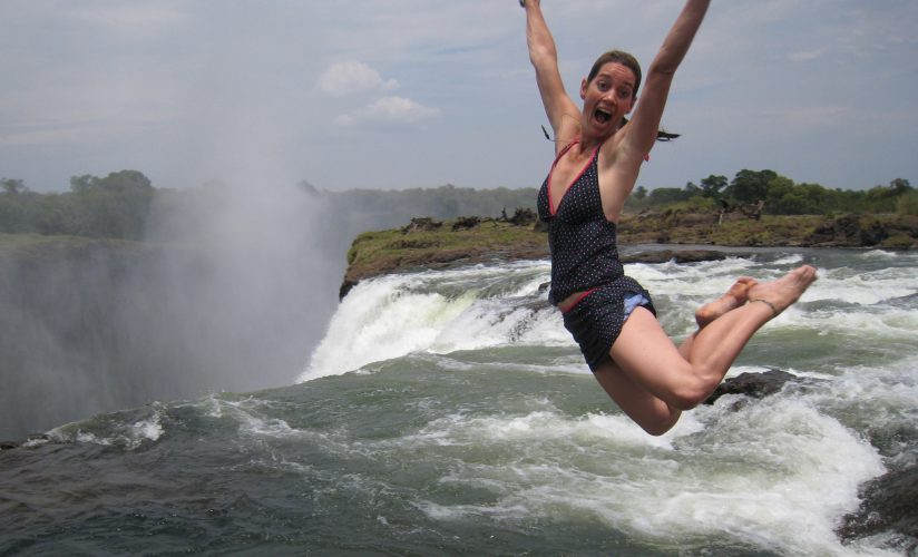
Known as the adventure capital of Africa (not least for a 350 feet bungee jump off the bridge that connects Zimbabwe with Zambia), it also offers the broadest view of the falls, about two thirds of the width of the Zambezi river, and the airport serves guests connecting to safari destinations like Hwange National Park, Kariba, or the beautiful Mana Pools area – again flanking the mighty Zambezi further east.

Another border crossing from Victoria Falls Town (Zimbabwe) into Livingstone (Zambia), affords access to the eastern cataract, as well as (seasonally) the precipitous Livingstone Island and the famous Devils Pool at the lip of the thundering abyss. Along the Zambezi River’s northern bank, several famous lodges (Islands of Siankaba, Sussi Lodge, Toka Leya, Tongabezi, River Club) serve as a base for exploration, or a stepping stone en route to Zambia’s Lower Zambezi National Park to the East (across the Zambezi from the Mana Pools) or South Luangwa National Park further north east (usually requiring a connection in Lusaka). Driving about 90 minutes westward from Livingstone back towards Namibia however, leads one to the Kazangulu border post where crossing from Zambia back into Botswana is possible only by boat or ferry, and yes – the exact spot in the water where the four countries meet.
We truly believe that visiting more than one African country really adds to your overall safari experience. The “four corners” makes this possible with minimal travel time. It brings to light the fact that Africa is made up of more than 50 distinct countries, each with their own unique culture, languages, history and landscapes.
Africa’s 4 Corners